This event begins 09/04/2020 and repeats every year forever
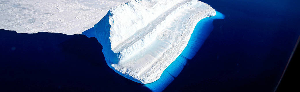
ICESat-2 (short for Ice, Cloud and land Elevation Satellite), slated to launch in 2018, will use lasers and a very precise detection instrument to measure the elevation of Earth’s surface. By timing how long it takes laser beams to travel from the satellite to Earth and back, scientists can calculate the height of glaciers, sea ice, forests, lakes and more – including the changing ice sheets of Greenland and Antarctica.
Using Light to Measure Height
ICESat-2 will carry a single instrument, the Advanced Topographic Laser Altimeter System, or ATLAS. ATLAS has a single laser, split into six beams and arranged in three pairs to better gauge the slope of Earth's surface. Mechanisms on board precisely time the round-trip of laser photons as they leave ATLAS, reflect off the ground and return to the receiver telescope. By matching those times with the satellite's precise location in space, mission scientists will be able to determine the heights of Earth’s surface.
The mission will gather enough data to estimate the annual height change of Greenland and Antarctic ice sheets to within 4 millimeters – the width of a No. 2 pencil.
With 10,000 laser pulses per second, this fast-shooting laser technology allows ATLAS to take measurements every 28 inches along the satellite's path. The mission will gather enough data to estimate the annual height change of Greenland and Antarctic ice sheets to within 4 millimeters – the width of a No. 2 pencil.